
Lower Allen Township Previous Resident Sources
Different records cover different eras of a Lower Allen address. A recorded deed establishes a land transaction, not who occupied the house. A regional directory or census may offer a household clue, but only if the specific volume or enumeration reaches the address. Township minutes, county surveys, tax-rate books, estate files, and historic vital records can fill a date gap. Start with the newest dependable parcel and deed evidence, then move backward while keeping the legal description attached to every link.
| Source | Years | Where | What shows |
|---|---|---|---|
| Cumberland deed records | 1750–present stated for deeds | Recorder of Deeds and LANDEX | Recorded parties, date, instrument reference, and legal land description |
| Mortgage and miscellaneous indexes | 1973–present; 1956–present | Recorder of Deeds and LANDEX | Financing, discharge, and other instrument leads, not residence proof |
| Lower Allen minute books | 1851–1914; 1933–1990 | Pennsylvania State Archives guide | Road, street, and local-public-business context |
| Regional directories | Selected 1930–2004 holdings | New Cumberland Community Archives | Dated name or address lead only after volume coverage is checked |
| Federal census | Public through 1950 | National Archives and genealogy access points | Household composition and enumeration context |
| County surveys and tax books | Surveys 1750–1888; tax years vary by volume | Cumberland County Archives | Land boundaries and municipality-based historical placement |
The range is not a promise of a fully online address search. In particular, no Lower Allen-exclusive directory run was verified, and the historic directory holdings must be checked title by title. A tax mailing address can differ from the physical location, so it should never substitute for a legal description or a household record.
Lower Allen Township Past Parcel History
Map the current Lower Allen address before researching past residents. Cumberland County Property Mapper accepts physical address, PIN, deed book and page, point-address, and sales-transfer searches. Its published selected-parcel information includes parcel ID, owner, property address, land description, deed book and page, sale date and price, assessed values, physical characteristics, municipality, and other assessment categories. Lower Allen AxisGIS adds searches by owner, parcel ID, and address. It can help locate the subject parcel, but a displayed owner is parcel-associated information, not a household roster.
Write down the parcel or UPI, the municipality, and the exact legal-description clues visible in the official tools or confirmed through assessment. A situs address is the physical location. A tax mailing address is where tax mail goes and can be elsewhere. The legal description identifies land by lot, subdivision, or other recorded language, which is why it survives a street-number change better than an address alone. Cumberland's Assessment Office makes its roll available for public inspection and is the place to resolve an ownership-name issue.
Note: Use the parcel and legal description to test a past-resident lead, because an address alone can change or be reused.
LANDEX for Lower Allen Township Past Residents
Cumberland's Recorder directs online document searching to LANDEX Document Publishing Search. The county states that deeds reach back to 1750, mortgages to 1973, and miscellaneous records to 1956. LANDEX's observed Cumberland-selectable interface has General, Instrument Number, and Book and Page modes. The General search uses county selection, company or last name, first name, optional date range, and document types. Instrument Number and Book and Page modes require the identifying number or numbers rather than a street address.
LANDEX supports wildcards, caps name matches at 250, and advises narrowing a common surname. Its instructions also say suffixes and titles are stored in the First Name field. Those details make name variation notes useful, especially when a seller, buyer, estate, or family name appears in more than one form. No named LANDEX result was opened during the research, so the exact visible result columns, image treatment, and redactions for an individual Lower Allen hit are not claimed here.
The LANDEX search interface is the starting point for a Cumberland recorded-instrument query.
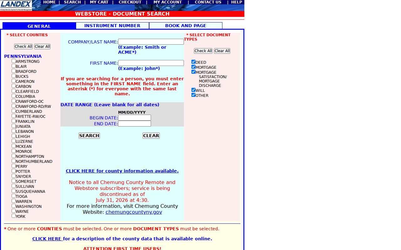
Before counting a result as a chain link, record the party name and role, document type, recording date, instrument or book-page reference, legal description, and any image or cart access shown for that live record.
Lower Allen Township Previous Deed Chain
A deed chain is a repeatable sequence, not a search by old street number. Begin with the best current parcel identity, find the acquisition document through the named party or its instrument reference, and then work to the earlier transfer. The seller on one recorded deed is the next person to search as a grantee, because that earlier purchase can reveal the prior link. Match the legal description, lot, subdivision, or plat at every step. Do not assume the same number identifies the same land after a subdivision, partition, or address change.
- Locate the Lower Allen parcel in Property Mapper or AxisGIS and note its parcel or UPI, municipality, and legal-description clues.
- Search LANDEX for the current owner's acquisition document using the recorded party name, date window, instrument number, or book and page.
- Record the grantor, grantee, recording date, document type, instrument or book-page reference, and legal description from the real document information.
- Search the seller, now the next potential grantee, for the earlier acquisition and compare the legal description before accepting the link.
- Repeat backward. At a break, use Recorder counter research, a plat, County Archives surveys or tax material, Register of Wills estates, Township minutes, and census context.
- Grantor
- The party transferring an interest in the recorded instrument, commonly the seller in a deed.
- Grantee
- The party receiving an interest in the recorded instrument, commonly the buyer in a deed.
- Chain of title
- The linked sequence of recorded transfers for the same parcel or legal land description.
- Legal description
- The recorded lot, subdivision, metes-and-bounds, or other land identity that ties deeds to the same property beyond a street number.
Lower Allen Township Past Records
When the deed trail leaves an unanswered date, Lower Allen's municipal series and Cumberland's archive collections can supply land context. The Pennsylvania State Archives guide lists Township minute books from 1851–1914 and 1933–1990, a partial ordinance book for 1948–1959, and resolution books for 1952–1966. The listed minute-book run has a 1915–1932 gap. That gap belongs in the research notes rather than being filled with an invented street-renumbering story.
Cumberland County Archives is another fallback for a deed gap. Its reported digitization additions include county surveyor land surveys from 1750–1888 and election returns from 1789–1927. It also reported 2025 online additions of Register of Wills vendues from 1750–1926, estate tax liens from 1920–1922, Recorder oaths of allegiance from 1777–1778, and record inventories. Tax-rate books are arranged by municipality, which offers a Lower Allen sorting method when a street directory does not.
The County Archives digitization update names these historical series and the newly available spans.
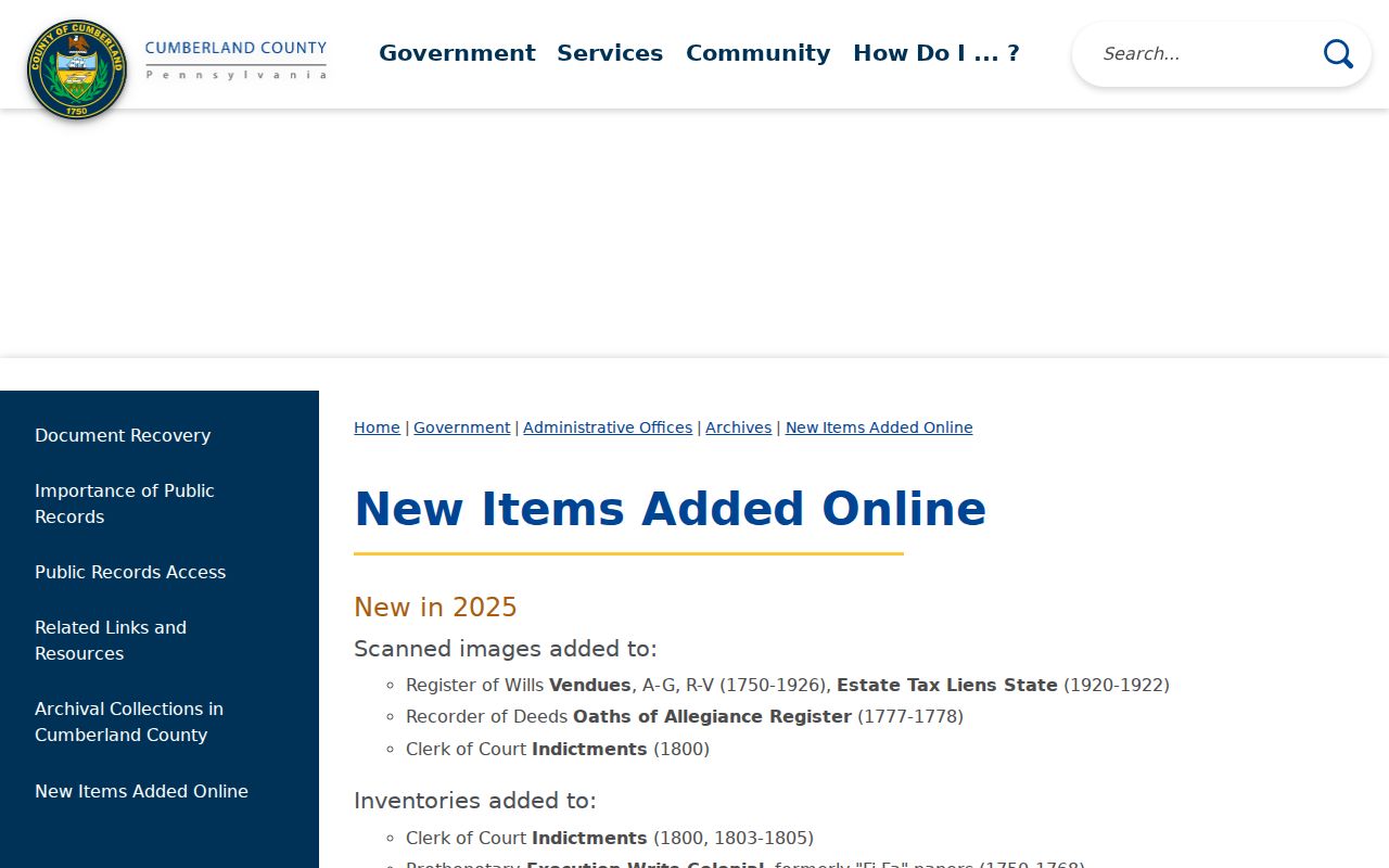
These records can anchor a person or parcel in time, but a survey, vendue, or minute entry does not by itself prove that person lived at the current street address.
Lower Allen Township Previous Residents Beyond Deeds
Owners are only one part of an address history. Cumberland's Register of Wills reports estates from 1750 to present, marriage licenses from 1885 to present, and county birth and death registers for 1894–1906. Estate material can identify a decedent, fiduciary, heir, or transfer endpoint. A marriage, death, obituary, church record, or cemetery record can help test a family relationship. They do not automatically establish who occupied a property at a particular time, so retain the date and custodian for each fact.
The Cumberland County Historical Society holds genealogy files, family histories, newspapers, church and cemetery records, manuscripts, business records, and county histories. It is a closed-stack archival library at 21 N. Pitt Street in Carlisle, with appointments, first-Saturday walk-ins, catalog and finding-aid access, and a research-request route. Nonmember daily access is $5, unless a county-library CCHS pass is used.
The CCHS research page explains its archival access and holdings.

CCHS can assist with deeds, property, taxes, estates, vital records, and newspapers, but it does not generally trace the history of a house or conduct federal census searching.
Lower Allen Township Past Household Years
To move from ownership to a household view, pair the deed period with regional directories and the public federal census. The New Cumberland Community Archives inventory includes selected Polk West Shore years from 1956 to 1994, a 1999 Polk Cumberland County title, and City Publishing cross-reference holdings from 1962 and selected years from 1980 through 2004. Its finding aid identifies a 1934 West Shore Directory with a reverse-directory feature. These are useful past-resident leads only after a researcher confirms that the actual volume covers the Lower Allen locality and address.
The Cumberland County Libraries genealogy page connects researchers to CCHS, the Carlisle Family History Center, and State Library genealogy resources.
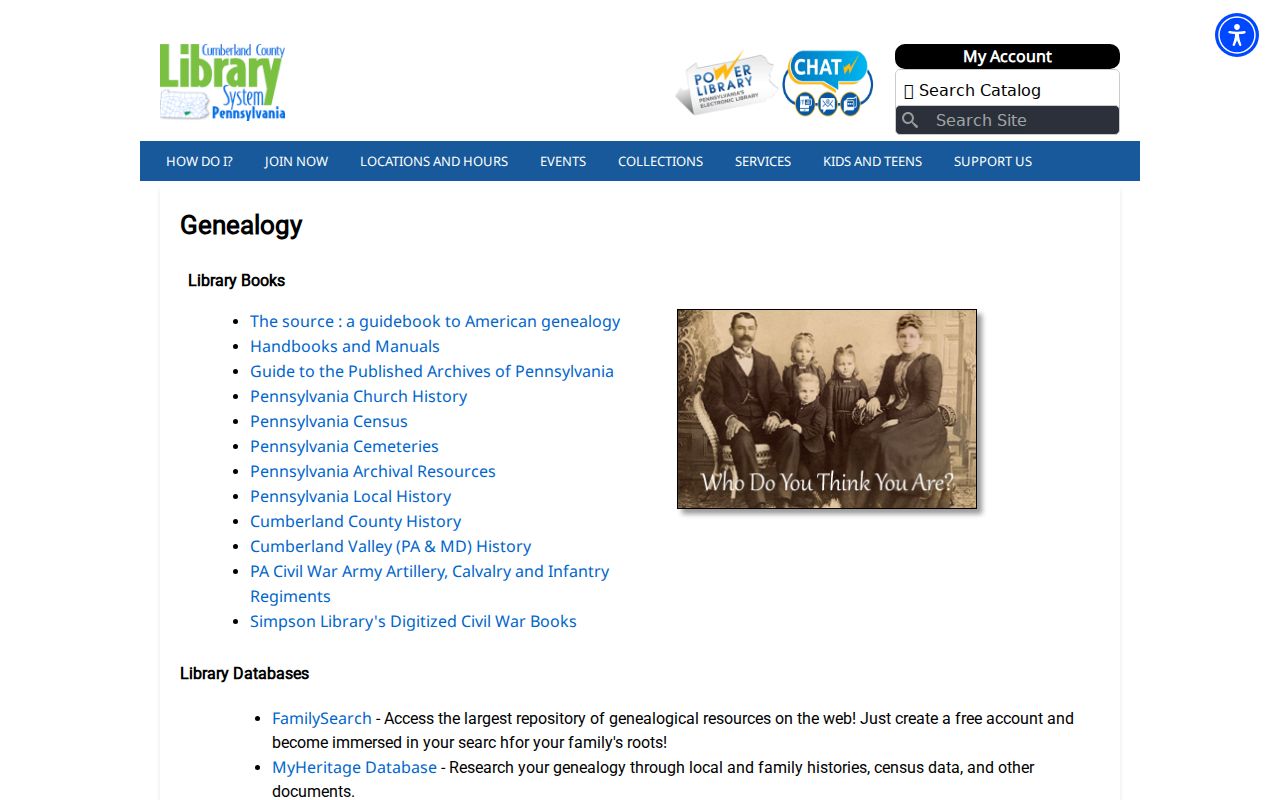
The library page is a gateway, not a digitized Lower Allen directory. Record the exact title, publisher, year, page, and coverage statement before using a name or address from a physical volume.
- Place the address in a deed-chain period by matching a confirmed legal description and recorded transfer.
- Choose a regional directory year inside or near that period, then inspect the volume for Lower Allen or the relevant West Shore locality.
- Record an entry exactly, including all printed names, address wording, page, title, year, and publisher.
- Compare that dated lead with the appropriate census year, recognizing that enumeration areas do not necessarily follow modern postal or municipal labels.
- Test a possible household with land, estate, church, cemetery, newspaper, or obituary evidence before calling it a past-resident conclusion.
Lower Allen Township Previous House Limits
Some expected tools were not verified for Lower Allen. No official source located a Lower Allen-specific Sanborn map suite, and no definitive township-wide street-renumbering rule or year was found. Do not force an old number into a modern address. Instead, use the legal description, parcel or UPI, subdivision or plat information, Township minutes, and the relevant historic locality name. Older materials can be cataloged under Allen Township, Lower Allen, Lisburn, Milltown, or Eberly's Mills.
The Gardner Digital Library's pre-1858 Lower Allen architecture article is a useful local-history lead, not a complete house-history guide or an address directory.
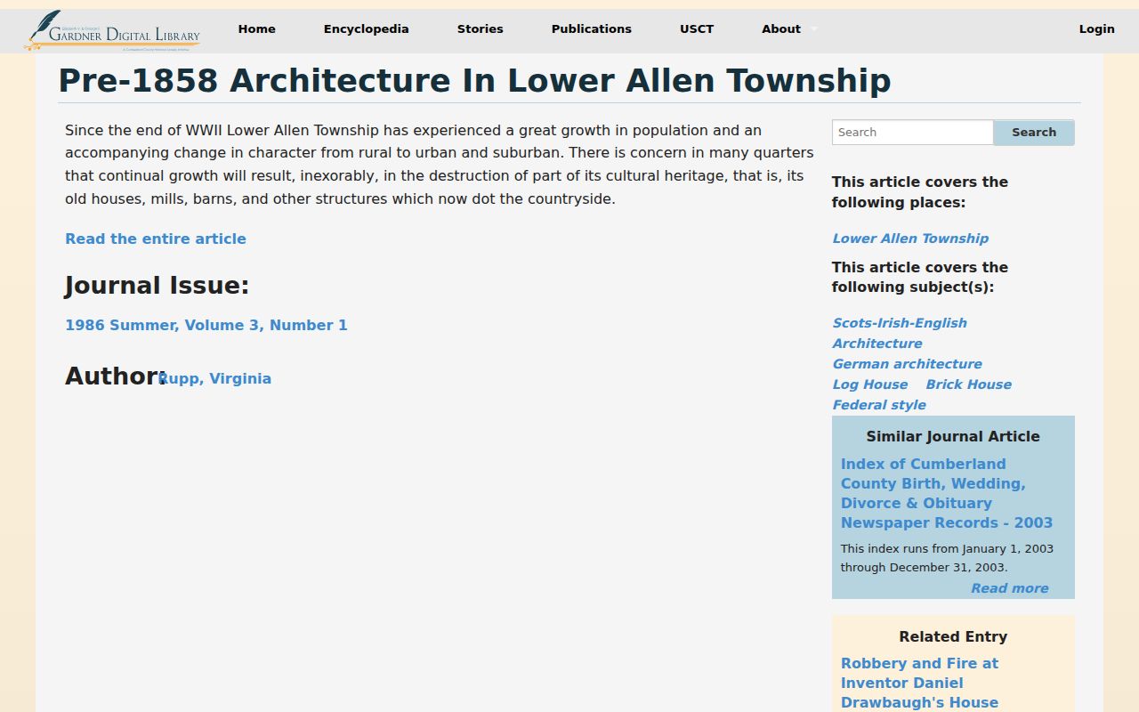
Use a local-history article to form a question about a building or locality, then verify its answer in the appropriate recorded, archival, or municipal source.
Note: An absent result may reflect an unverified collection gap or a protected record, not proof that no previous resident existed.
Lower Allen Township Past Household Context
Past-resident research is most reliable when it keeps its claims narrow. A deed says that recorded parties transferred land. A directory or census may place a household in a date range. A permit can tie an owner or applicant to a project, but Lower Allen has no verified public address-level permit-result index. A defined request for an identified permit, address, date range, or record series is more appropriate than asking the Township to identify every former occupant. The Township's open-records process concerns existing identifiable records, not answers to broad questions.
Use these sources for family history, estate and heir research, home history, and personal curiosity. Confirm apparent errors with the original custodian. Do not use a dated address fragment to pursue, expose, stalk, or harass a living person.
Lawful use. Lower Allen past-resident research can support a careful house or family history, but protected records and safety boundaries must be respected at every step.