
Lower Allen Neighbor Record Sources
Official sources answer different questions about Lower Allen Township neighbors. A parcel viewer is for land boundaries and selected assessment context. A recorded deed follows the legal description and named parties. Planning maps describe development patterns. The regulated election route can provide specified voter-list products, but it is not an online neighbor roll. None of these sources reliably identifies every renter, household member, utility customer, or protected person around an address.
| Block source | What it shows around an address | Access route |
|---|---|---|
| Lower Allen AxisGIS | Parcel search, selected parcel details, and adjacent parcels | Township parcel viewer |
| Cumberland Property Mapper | Parcel lines, selected assessment and sales context, map print | County map |
| Planning and subdivision maps | Land use, zoning, plan, and development timing | County Map Services |
| LANDEX recorded instruments | Recorded parties and legal land description | Recorder search |
| State Street or Walking List | Specified voter address and status fields | Department of State request form, with certification |
A parcel owner can be different from an occupant, and a tax mailing address may not be the property’s physical location. Treat a Lower Allen neighbor result as a property or recorded-party connection until independent evidence supports more.
Lower Allen AxisGIS Finds Abutters
Lower Allen AxisGIS is the documented starting point for the immediate block. The Township help sheet identifies Parcel ID, Owner, and Address search modes. After selecting the subject parcel with Identify, use Abutters or Find Abutters for adjoining parcels. The service also has reports, layers, and zoning or flood map variants. It is a parcel workflow, so the useful result is a sequence of adjoining land records rather than a claim about all people nearby.
The Township’s AxisGIS help sheet names the supported search and abutter tools.
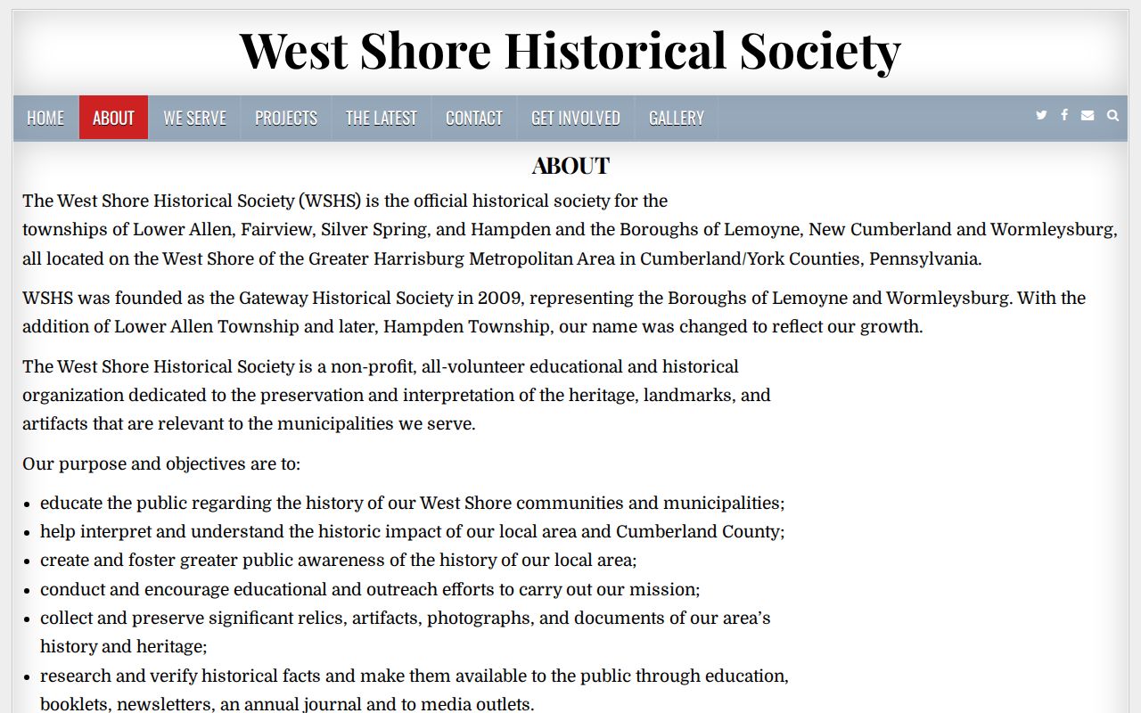
Local-history context complements the map, but it is not a member directory or a substitute for parcel evidence.
Lower Allen Parcels Are Not Households
Property Mapper supports physical-address, PIN, deed-book/page, point-address, and sales-transfer searching. Its published selected-parcel categories include parcel ID, owner, property address, use, land description, deed book/page, sale date and price, assessment, physical characteristics, municipality, homestead or farmstead indicators, and estimated taxes. The published sources do not establish that an individual parcel card shows a tax mailing address. Confirm that type of detail with Assessment or DataScout.
AxisGIS has an Owner search, while the County mapper’s observed fields are different. Neither viewer has a verified radius or distance filter. This boundary matters when looking at neighbors: click actual adjoining polygons rather than claiming a distance-based list. County Assessment has also warned that a computer update caused incorrect ownership names on some school tax bills, so Recorder or Assessment confirmation is sensible for a disputed name.
Lower Allen Voter Lists Have Rules
The Pennsylvania voter-status page is a personal confirmation form with first name, last name, county, and date of birth. It does not offer a public browse of Lower Allen Township neighbors. The state’s separate public-information, Street, Walking, and full voter-export products have their own listed fields. A Street List includes name, residence address, mailing address, party, and active or inactive status; a Walking List leaves out mailing address.
Each list is electronic, costs $20 for a county or list type, and requires a signed affirmation. The request form states that internet publication is prohibited under the cited election regulations. Pennsylvania’s Address Confidentiality Program can also provide a substitute address for a protected voter. Use the official election route and do not copy a record fragment into a public block list.
The voter registration-status screen is intentionally different from the regulated list request.
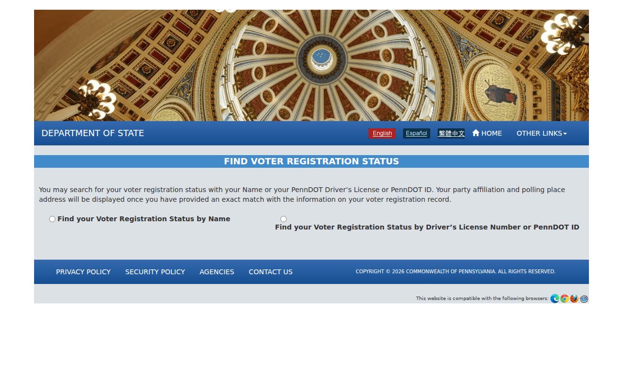
The form confirms an individual’s status path; it does not authorize a neighborhood-wide name search.
Map a Lower Allen Township Block
For immediate neighbors, begin with a known Lower Allen Township address and keep the result tied to the parcel. The county and Township tools work together: AxisGIS supplies the official Find Abutters sequence, while Property Mapper can preserve a selected parcel’s county assessment and map context.
- Search the address, parcel ID, or known owner in AxisGIS and use Identify to select the anchor parcel.
- Choose Find Abutters, then review the adjoining parcel identities without treating them as a household roster.
- Open the same parcel or nearby parcel in Property Mapper for parcel geometry, visible assessment context, and a map print.
- Use the legal description or named party in LANDEX only when a land-history question needs a recorded instrument.
For a whole named street rather than the immediate block, use the fuller address chain on the Lower Allen Township street directory.
Lower Allen Block Development Clues
The County Planning Review Map can compare parcels, land use, zoning, and agricultural preservation. Its Subdivision and Land Development Activity Map supports municipality and date filters plus plan-name and street-address searches. These are useful when a block’s lot pattern, a subdivision name, or a development era needs explanation. They describe the land, not the people who occupy it.
A Township permit file can sometimes add an owner or applicant, project description, and date to the history of one address. There is no verified public issued-permit result index. Make a defined Lower Allen records request for a known address, time span, permit, or project instead of asking the office to identify neighbors. The 2026 application form is evidence of what a file may capture, not proof that a permit was issued.
Context for Lower Allen Neighbors
No official Lower Allen neighborhood-association umbrella, HOA member directory, or public member roster was verified in the research. That is a useful boundary. For local context rather than a roster, the documented community resource is the West Shore Historical Society, which serves Lower Allen and nearby West Shore municipalities and maintains an archive office at 939 Kranzel Drive in Camp Hill.
West Shore Historical Society
Preserves documents, photographs, artifacts, newsletters, and local history for Lower Allen and nearby communities. Contact the archive about street, school, neighborhood, or photograph research.
Cumberland Map Services
Provides County Property Mapper and planning-map routes for parcel, zoning, and development context. It is the official map layer for a block question, not a resident roster.
Lower Allen Neighbor Sources Compared
Source choice changes the strength of a block result. Official custodians identify their records and limits. A privately compiled directory category may combine records from different dates and leave the source or correction route unclear. For a neighbor question, the parcel, Recorder, elections, and Township channels are the routes that can explain how a result was created.
| Official route | Privately compiled directory category |
|---|---|
| Shows a defined record type, custodian, and access limit | May combine records with different dates and unclear source detail |
| Lets a person ask the original office about a specific record | May not provide a direct correction trail to the original record |
| Supports parcel, record, or civic-context research | Should not replace custodian verification |
The contrast is especially important where a house changed hands or a subdivision was built in stages. A selected County parcel can show a deed book and page, land description, sale context, assessed values, and imagery context. The Recorder’s index can then be searched by the recorded party, document type, date, instrument number, or book and page. A recorded name supports a transaction on a date. It does not prove that a named party was living on the block at that time.
For a historic block question, County Archives tax-rate books arranged by municipality, land surveys, and Township minute books can add context. Lower Allen minute books are listed in digitized runs for 1851–1914 and 1933–1990, with a listed gap for 1915–1932. That gap is a reason to check the Township and historical collections, not a reason to assume every local record disappeared.
Limits on a Lower Allen Neighbor Lookup
Lower Allen Township neighbors cannot be identified through a lawful universal database. Non-owner occupants, household members, utility customers, delivery records, protected residents, sealed court parties, and driver records are not a public block directory. The Pennsylvania Address Confidentiality Program uses substitute addresses for eligible participants in listed record systems. A hidden or altered address may therefore be a safety measure, not a gap to overcome.
Recorded parties and assessment names are time-bound evidence. A deed can establish a transaction but not a move-in date, and a permit may show an applicant or owner without naming each occupant. The County’s assessment roll is available for public inspection, but its purpose is assessment administration rather than an occupancy census. A planning map can help explain a lot boundary, yet it cannot disclose who is inside a home. The same care applies when looking at an older recorded land transfer. Ask the original custodian about an apparent error and stop when the record rule closes the route. Note: A block map is most useful when it answers a narrow parcel or development question, not when it is used to infer private household details.
Lawful use. Use Lower Allen Township neighbor information for respectful, lawful local research and never to stalk, harass, intimidate, or harm anyone.